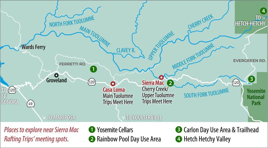
Many of our rafting guests on the Tuolumne River inquire about things to do and places to visit near our Main and Upper Tuolumne rafting trip meeting spots. The area between the town of Groveland and Yosemite’s Northwest (Big Oak Flat) entrance offers a variety of diversions and activities for visitors. Day hikes, swimming holes, watering holes, and hidden corners of Yosemite National Park all await curious travelers.
There are many lodging options along the highway 120 corridor as well as a number of campgrounds and RV parks from which to stage your visit. It is a good idea to pick dates and book reservations for these in advance of your trip to assure availability. This area just outside Yosemite’s Northwest entrance provides an excellent launching point for excursions into and around the Park, and avoids some of the traffic gridlock that can occur in Yosemite Valley during the peak summer season. If you are planning a rafting trip on the Upper or Main Tuolumne and can stretch out your vacation a little, you might consider planning a few nights before or after your trip dates to allow more time to explore the area.
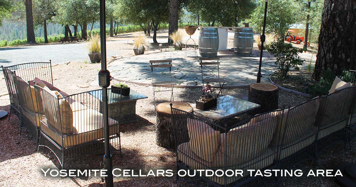
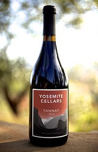 The Sierra Foothills has been gaining recognition as a wine growing region, and the hills near Groveland are no exception. Yosemite Cellars offers wines that are made exclusively from their estate vineyard located at 3000’ elevation off Ferretti Road, not far from our meeting spot for Main Tuolumne rafting trips. Cheryl and Ron Harms began Yosemite Cellars in 2005 and it is the only vineyard located in the immediate Yosemite region. Yosemite Cellars is open for wine tasting every Saturday from 12-5pm May thru September. Wine tasting is also available by appointment. Give them a call at 209-770-3381 to check availability. This Yosemite Cellars Google map will guide you to the estate.
Looking at a map of the Northwest Yosemite region you can see how the various forks of the Tuolumne take shape and eventually join to form the main stem that is the section we paddle for our Upper and Main Tuolumne rafting trips. Each of these Forks are worthy of exploration for fishermen and day-hikers. In particular, the South Fork of the Tuolumne traces a path that roughly parallels Highway 120. Located less than a mile from Sierra Mac’s headquarters, Rainbow Pool is a popular summer stop for travelers wishing to take a dip in its refreshing waters. To find it, look for the Rainbow Pool cutoff just before Highway 120 crosses the river about 13.5 miles East of Groveland heading towards the Park. Follow the road down to the parking area below the highway near a smaller bridge crossing the South Fork.
 The pool and and waterfall lie just downstream from the site of what was originally a toll stop and later a resort that stood at this location. The river here can run quite high and fast during the winter and spring, but in summer it quiets to become a series of pools that begin upstream of the bridge. To reach these upper pools, park your car in the lot near the restrooms and take the trail that heads upstream from the bridge. From this point you will also have a view of the the main downstream swimming area. Be safe, don’t dive, and always know where you are jumping. The water temperature here in summer is refreshing but warm enough so that you can swim around and explore this quintessential California Sierra swimming hole.
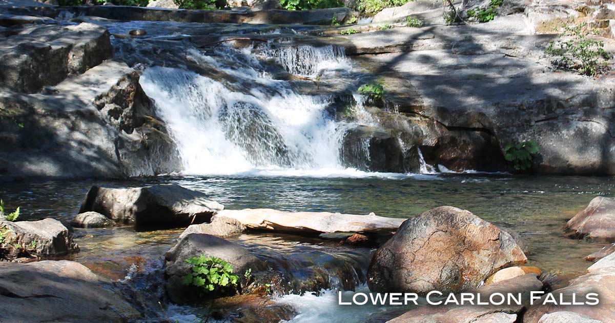 A few miles upstream from Rainbow Pool, the South Fork can also be easily accessed and enjoyed by visiting the Carlon Day Use Area located on Evergreen Road about 1 mile from where it turns off State Hwy 120. Lower Carlon day use area has a restroom and some beautiful picnic sites along the river furnished with picnic tables and grills. Across the river is the trail head for the hike to Carlon Falls which is located about 2 miles upstream. This is a beautiful, mostly flat walk up the river that takes you to an awesome swimming hole located at the base of the falls. Look for two large ancient Native American acorn grinding holes in the rock below the falls.
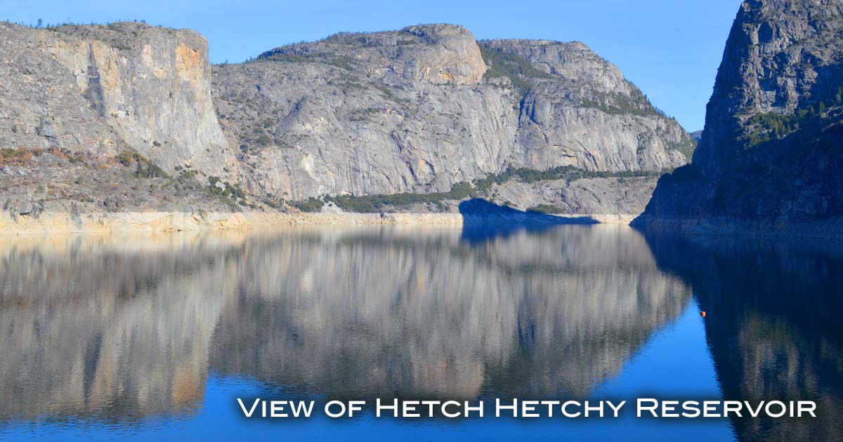 Finally, guests to the Hwy 120 corridor are often drawn to Yosemite’s grand rear entrance, the Hetch Hetchy Valley. This spectacular valley located in the northwest corner of the Park is one of Yosemite’s hidden treasures. Similar to Yosemite Valley in size and beauty and complete with its own set of points and waterfalls, Hetch Hetchy Valley was dammed in 1938 to provide water for the citizens of San Francisco. Today it serves nearly 3 million people in 29 cities across the Bay Area. Savvy fishermen, day-hikers and backpackers come to explore and enjoy this less used area of the Park. The views are incredible and the spring wildflower displays are breathtaking. To reach the Hetch Hetchy Valley, travel 7.4 miles on Evergreen Road from Hwy 120 to where it meets Hetch Hetchy Road at Camp Mather. Turn right onto Hetch Hetchy Road and continue about a mile to the official entrance and another 8 miles to the parking area near the Dam site.
Have fun exploring the Highway 120 corridor and enjoy your visit to Tuolumne River country northwest of Yosemite National Park.
